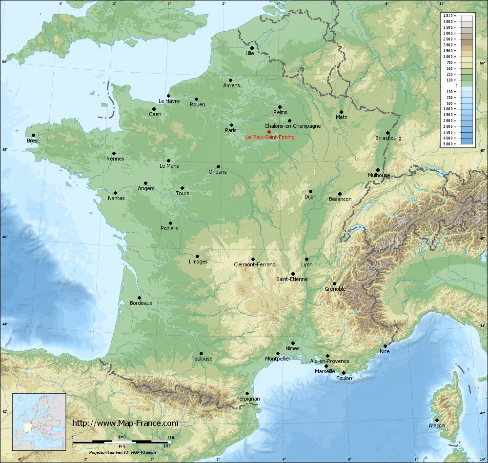
Le Meix-Saint-Epoing on the relief France map in Lambert 93 coordinates
|
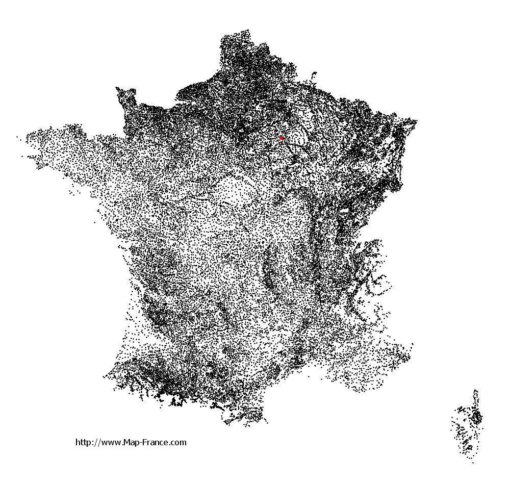
See the map of Le Meix-Saint-Epoing in full screen (1000 x 949)
|
At left, here is the location of Le Meix-Saint-Epoing on the relief France map in Lambert 93 coordinates.
Here are the altitudes of Le Meix-Saint-Epoing :
- Town hall altitude of Le Meix-Saint-Epoing is 160 meters
- Minimum altitude of Le Meix-Saint-Epoing is 155 meters
- Maximum altitude of Le Meix-Saint-Epoing is 214 meters
- Medium altitude of Le Meix-Saint-Epoing is 185 meters
Here are the altitudes of Châlons-en-Champagne, prefecture of Marne department:
- Town hall altitude of Châlons-en-Champagne is 85 meters
- Minimum altitude of Châlons-en-Champagne is 79 meters
- Maximum altitude of Châlons-en-Champagne is 153 meters
- Medium altitude of Châlons-en-Champagne is 116 meters
Here are the altitudes of the french biggest cities:
Paris : 33 meters
Marseille : 20 meters
Lyon : 237 meters
Toulouse : 146 meters
Nice : 10 meters
Nantes : 20 meters
Strasbourg : 144 meters
Montpellier : 35 meters
Bordeaux : 16 meters
Lille : 20 meters
Rennes : 35 meters
Reims : 83 meters
Click here for the terrain map of Le Meix-Saint-Epoing in full screen:
Relief map of Le Meix-Saint-Epoing
|
This relief map of Le Meix-Saint-Epoing is reusable and modifiable by making a link to this page of the Map-France.com website or by using the given code :
|
Terrain base map of Le Meix-Saint-Epoing
|

See the terrain base map of Le Meix-Saint-Epoing in full screen (1000 x 949)
|
Small relief base map of Le Meix-Saint-Epoing

|
This base map of Le Meix-Saint-Epoing is reusable and modifiable by making a link to this page of the Map-France.com website or by using the given code :
|
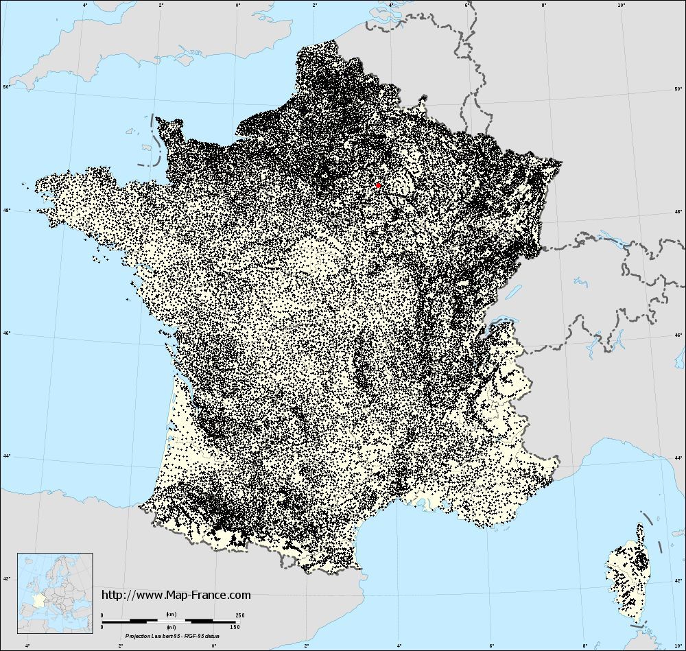
Map of Le Meix-Saint-Epoing with regions and prefectures
|
View the map of Le Meix-Saint-Epoing in full screen (1000 x 949)
|
You will find the location of Le Meix-Saint-Epoing on the map of France of regions in Lambert 93 coordinates. The town of Le Meix-Saint-Epoing is located in the department of Marne of the french region Champagne-Ardenne.
Geographical sexagesimal coordinates / GPS (WGS84):
Latitude: 48° 42' 16'' North
Longitude: 03° 38' 56'' East
Geographical decimal coordinates :
Latitude: 48.699 degrees (48.699° North)
Longitude: 3.651 degrees (3.651° East)
Lambert 93 coordinates :
X: 7 478 hectometers
Y: 68 451 hectometers
Lambert 2 coordinates :
X: 6 966 hectometers
Y: 24 126 hectometers
Below, the geographical coordinates of Châlons-en-Champagne, prefecture of the Marne department:
Geographical sexagesimal coordinates / GPS (WGS84):
Latitude: 48° 57' 24'' North
Longitude: 04° 21' 52'' East
Geographical decimal coordinates :
Latitude: 48.957 degrees (48.957° North)
Longitude: 4.362 degrees (4.362° East)
Lambert 93 coordinates :
X: 7 999 hectometers
Y: 68 738 hectometers
Lambert 2 coordinates :
X: 7 486 hectometers
Y: 24 417 hectometers
|
This map of Le Meix-Saint-Epoing is reusable and modifiable by making a link to this page of the Map-France.com website or by using the given code :
|
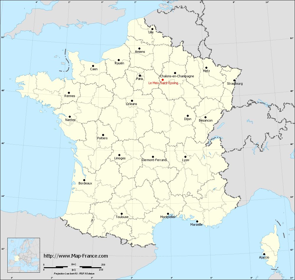
Map of Le Meix-Saint-Epoing with departments and prefectures
|
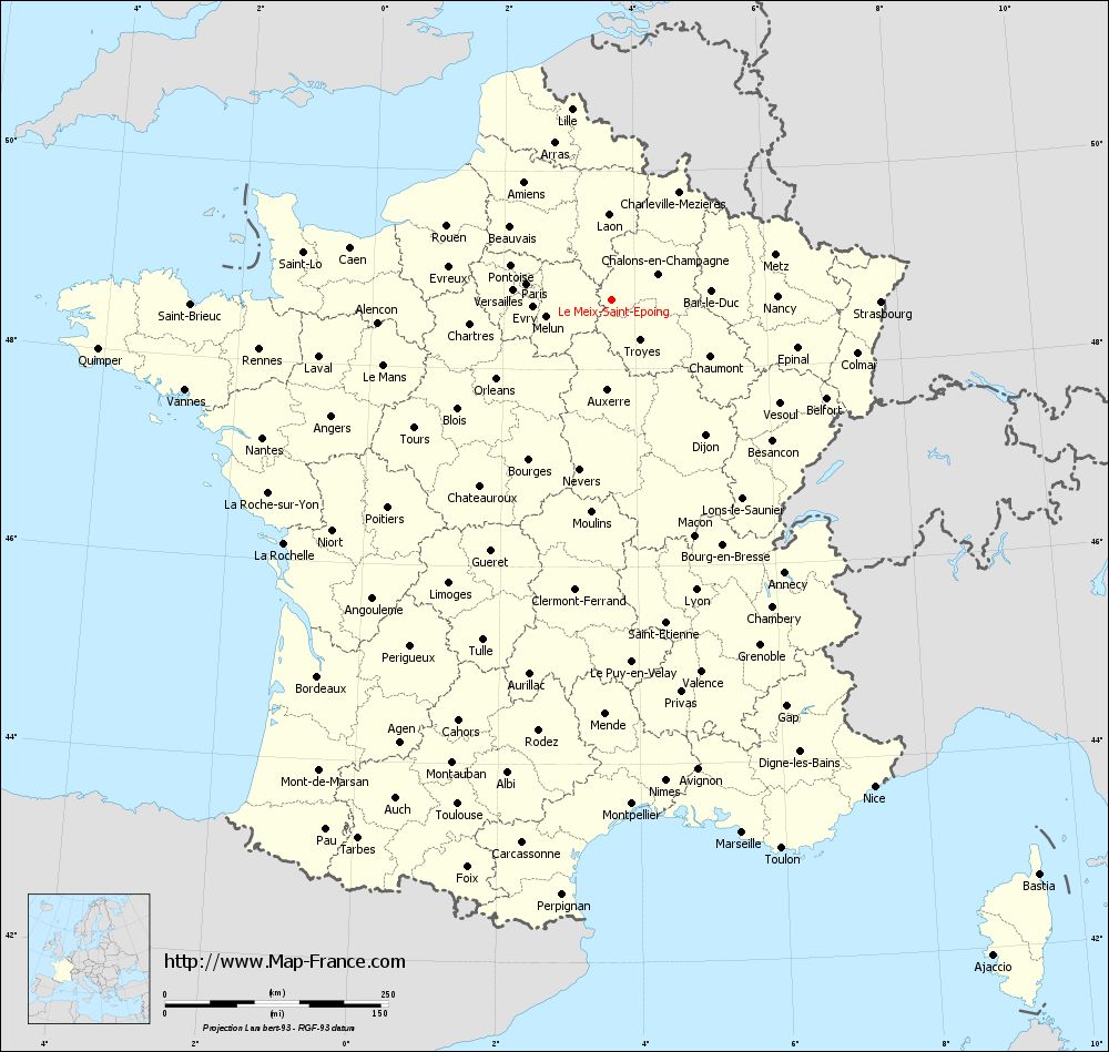
Voir la carte of Le Meix-Saint-Epoing en grand format (1000 x 949)
|
Here is the localization of Le Meix-Saint-Epoing on the France map of departments in Lambert 93 coordinates. The city of Le Meix-Saint-Epoing is shown on the map by a red point.
The town of Le Meix-Saint-Epoing is located in the department of Marne of the french region Champagne-Ardenne.
The latitude of Le Meix-Saint-Epoing is 48.699 degrees North.
The longitude of Le Meix-Saint-Epoing is 3.651 degrees East.
Here the distance between Le Meix-Saint-Epoing and the biggest cities of France:
Distances are calculated as the crow flies (orthodromic distance)
Distance between Le Meix-Saint-Epoing and Paris : 97.19 kilometers
Distance between Le Meix-Saint-Epoing and Marseille : 615.14 kilometers
Distance between Le Meix-Saint-Epoing and Lyon : 338.6 kilometers
Distance between Le Meix-Saint-Epoing and Toulouse : 591.28 kilometers
Distance between Le Meix-Saint-Epoing and Nice : 620.25 kilometers
Distance between Le Meix-Saint-Epoing and Nantes : 420.59 kilometers
Distance between Le Meix-Saint-Epoing and Strasbourg : 301.62 kilometers
Distance between Le Meix-Saint-Epoing and Montpellier : 565.86 kilometers
Distance between Le Meix-Saint-Epoing and Bordeaux : 535.53 kilometers
Distance between Le Meix-Saint-Epoing and Lille : 218.66 kilometers
Distance between Le Meix-Saint-Epoing and Rennes : 398.58 kilometers
Distance between Le Meix-Saint-Epoing and Reims : 67.99 kilometers
Clic here to see the map of Le Meix-Saint-Epoing in full screen:
Le Meix-Saint-Epoing on the map of french departments
|
This administrative map of Le Meix-Saint-Epoing is reusable and modifiable by making a link to this page of the Map-France.com website or by using the given code :
|
Administrative base maps of Le Meix-Saint-Epoing
|

See the administrative base map of Le Meix-Saint-Epoing in full screen (1000 x 949)
|
Small administrative base map of Le Meix-Saint-Epoing

|
This base map administrative of Le Meix-Saint-Epoing is reusable and modifiable by making a link to this page of the Map-France.com website or by using the given code :
|
 French Version : http://www.cartesfrance.fr